Birdata support and FAQs

Birdata has moved to a new platform, and some of the information below is out of date. Please hold tight while we update this in the coming weeksAn updated page is nearly ready, and will be published in February.


Welcome to BirdLife Australia’s Birdata web portal. 


Birdata is the home for all BirdLife’s critical citizen-science gathered observations – the vital knowledge that underpins all our conservation and research work. Birdata hosts the former Atlas of Australian Birds data, as well as dedicated monitoring projects such as the National Shorebirds Monitoring Program and Birds in Backyards.


You can use Birdata not only to contribute to these and other worthwhile programs, but to store your own observations, and to explore and learn about our amazing birdlife across the country.


Here are a few things you need to know to make your birding count. Please check out our video tutorials, or see the information below.

Although you can explore some of Birdata’s features without being signed in, you will need to create your own login to contribute observations and store your own sightings. You can do this two ways – the first is to set up a personal account to store and track all your own data. 

But if you are part of a school or university class, Indigenous ranger group, ‘Friends of’ group, an organisation’s environmental team, or environmental consultancy and want an easy way for multiple people to contribute their sightings – then a group login might be for you.

To create a personal account:

  • Click on the Sign Up button at the top of the homepage or Create a new account in the app
  • Fill out the online registration form, creating a username and password

You will be sent an email confirming your new login details. Once you have your login details you can start using the app and web portal immediately. 

Note: If you are an existing BirdLife supporter, who pays membership or make donations online, you will automatically have a Birdata account created using the same username and password details as you use to access the Supporter Network page. Please note your BirdLife Australia username is not the same as your member number, Atlas number, or Shorebirds login. If you are reconnecting to an older account, any observations you submitted to the earlier Birdata/Atlas/Shorebirds portals (pre-2016), may take up to 48 hours to appear in your My Data page.

To create a group account:

Contact us at birdata@birdlife.org.au with your details and we will set up a BirdLife username for your group to access the web portal and mobile app.

A group login will allow multiple people to contribute data at the same time, perfect for shared tablets and other work devices.

On the webpage:

Once you have created a username and password, you can use these details to login to Birdata, using the Log in button at the top of the homepage.  Your  browser will often remember your details, so you don’t have to enter your password every time you visit.

Across the top of the homepage, you will see the headings My Data, Record Survey, Explore, and Shared Sites. Use the tabs below to find out more about these functions. 

On your smartphone or tablet:

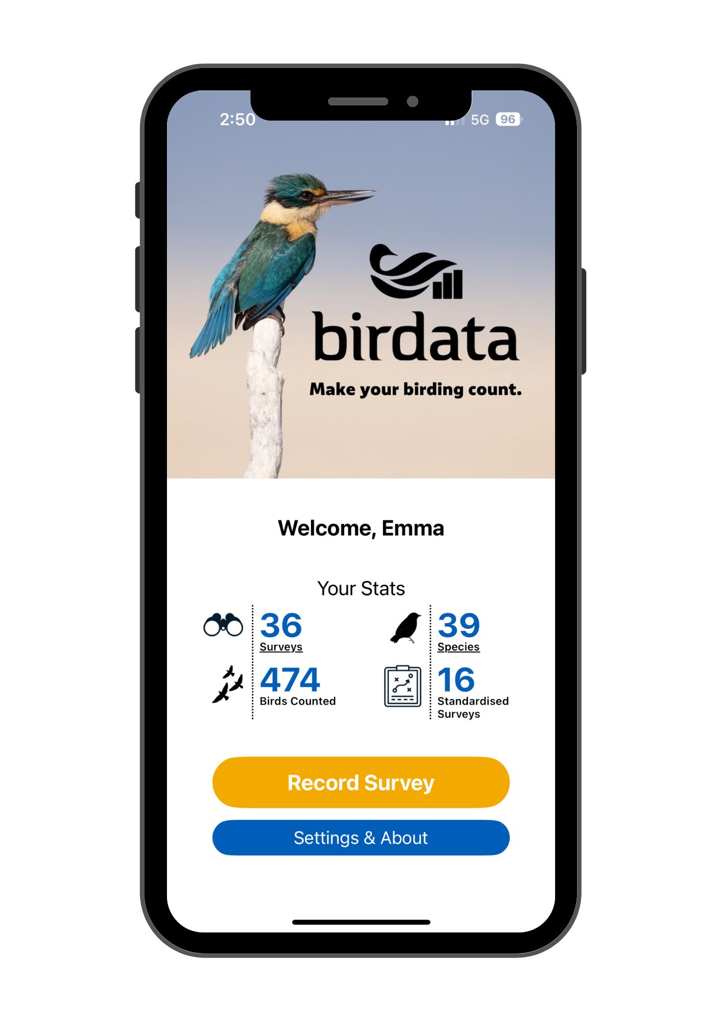
When you open the Birdata app for the first time, you will be prompted to enter your login details.  You will need to be connected to wifi or have mobile reception for this. However, once you login the first time, the app remembers who you are. From now on, you can use Birdata anywhere in the country, regardless of whether you have phone reception or not.

The Birdata app acts like an electronic notebook. You can use it to Record Surveys, or explore your existing data in the My Stats tab. However, given the large amounts of data involved, to properly Explore observations submitted by others and to learn about our birds or our Shared Sites, you will need to visit the web portal. See below for more details.

So, you see a bird and you want to record it – great! You can do this on both the webpage and the app. Check out the short videos here, or follow the steps below.

Open up Birdata, check you’re logged in, and click the Record Survey button. 

Birdata will then walk you through the following tabs – Program, Location, Details, Sightings, and Review & Submit. The information required is the same regardless of if you are on the app or the web portal, even though the layout may be slightly different.

Program 

Chances are, most of your everyday birding can be recorded in the General Birdata survey. However, if your survey is for a specific monitoring project, such as Birds in Backyards, or the Beach-nesting Birds program, select the appropriate option. Learn more about our monitoring programs, and how to get involved here.


Location 

Use this tab to specify where you are doing your survey. This can be a new survey point, a repeat visit to one of your existing survey points, or at an existing shared site which has already been set up for observers to use.


To create a new survey point you can either:

  • Navigate to it on the map, and click in the centre of your survey area. (If using the app, if you have your location settings on, your device will helpfully identify where you are and put a blue circle in that location on the map).
  • On the webpage you can also click Enter GPS coordinates to manually enter the coordinates of your survey location

To use an existing  survey point you can either:

  • Zoom in on the map and click on an existing survey point, or to place a point within a Shared Site polygon
  • Search for the survey point by name in the search box

 Details 

This tab records the information about your survey – date, start time, duration, survey type and so forth. Birdata pre-fills some of the options for you, assuming you are doing a survey right here and now, so enters today’s date and the current time, but you can change these if necessary.


If doing a General Birdata Survey you’ll need to select a Survey type from the list. Find out more about  the different survey types here. Fill out any other relevant options, such as number of observers, water level, or the Bushfire Assessment feature (find out more about that here).


Sightings 

The Sightings tab is where you enter the birds you saw and heard on your survey.


Species are added by typing into Search by species name box. As you type, Birdata will start predicting suggestions for you. Once your species name appears, click to add it to your survey. For each species, you are prompted to add a Count of the number of birds, or just list as ‘P’ for ‘Present’ (default). 

You can also add any Breeding Activity such as nest building, or feeding young that you notice. You have the option to add Notes to your sighting if useful. 


Note: If you are entering a species which is outside of its normal range, a message Species out of current estimated range appears. Double check you have entered the species you meant to, and if you’re sure it was this species, leave it on your list and enter a comment in the Notes field to support your record, or delete it as appropriate.


To remove any species, click the X on the right side of the page (web page), or select Delete Sighting from the bottom of the app screen. 


Review & Submit 

Use the Review & Submit screen to double-check everything before uploading your survey. Here Birdata will also flag any issues it has detected, such as incomplete information, and will prompt you to correct them. If necessary, click back through the previous tabs to make any changes.  Once you’re happy with everything and have met the survey requirements, click Submit Survey.

The My Data page allows you to view and edit your surveys, and download your data. 

Navigate using the interactive map, or use the filters on the left-hand side to explore your previous sightings. Species you have recorded appear in a list on the right-hand side. Click on a point on the map, or on the list, to load up a summary of that survey.  

Editing a survey

If you made an error on a survey, it’s easy to correct it in the My Data tab. To edit an existing survey, click on the survey you want to edit and a survey summary box appears. In the top right corner click on the Edit Survey button. Work your way through the Program, Location, and Details tabs the same as if you were submitting the survey for the first time, making any changes you need. Double check your changes on the Review & Submit tab, before re-submitting your amended survey. 


Exporting your data
At the bottom left-hand side of the page is the
Export data button. It allows you to download your data in CSV or JSON format. Use the filter settings on the left-hand panel to identify which surveys you want to download, or leave them blank to download all of your observations.

Use the Explore tab on the web portal to learn more about a bird species, discover what you are likely to see in a particular area, or learn about surveys that have been contributed by others.

Zoom, scroll or highlight an area of interest on the map. Use the various filters on the tab on the left-hand side to investigate by species, time, program, or area. The draw polygon feature allows you to highlight a specific area on the map that you are interested in. As you move around on the map, or adjust the filters, the bird list on the right hand side changes to match. When you filter by a bird species, the right hand side of the window instead shows some simple statistics on how often and when that bird has been recorded. You can download or print these lists and graphs at any time, allowing you to learn what you are likely to see if you visit a particular area.

If you zoom in close on the map, you will be able to click on individual surveys and learn more about what was seen there and when. 

Three different colours are used on the map – blue for records within the last 14 days, red for older records, and orange for sensitive species. To protect threatened or sensitive species, their exact location is not shown on the map when you zoom in close. Instead, the general location of the survey point is shown in orange instead. Learn more about sensitive species here.

Many of our projects use Shared Sites, registered locations to encourage birdwatchers to visit and contribute their sightings. 


On the Shared Sites page, you can explore the shared sites around the country. Navigate to a location on the map, or use the filters to identify shared sites in an area you are interested in. Click on a shared site on the map or in the list to learn more about the project it belongs to, and what has been found there.


Note: When submitting a Birdata survey, you may see purple shared site areas appear as you navigate the location tab. By dropping your survey pin inside one of these areas, your valuable sightings contribute to our knowledge about these shared sites. 


You can also use the shared sites page to see the impact of bushfire across the country.  Shared sites which have been affected by fire show up on the map in red. When visiting these sites, observers can use Birdata’s Bushfire Assessment feature to quantify to the on-ground effects of the fire on the habitat, as they survey for birds.


To find out more about Shared Sites and how to set them up, visit here. To find out more about the Bushfire Assessment feature, click here.